Nature-Based Solutions : Natural Carbon Sinks Against Climate Change
The biodiversity of our planet plays a crucial role in regulating the climate by acting as natural carbon sinks. Among the most effective ecosystems for this task are mangroves, plankton, wetlands, and forests. These essential elements contribute not only to reducing greenhouse gas emissions but also to preserving life on Earth. With this perspective in mind, innovative projects like that of the Abu Dhabi National Oil Company (ADNOC), which integrates nature-based solutions, and the use of technologies such as LiDAR by Natural Solutions, prove to be promising steps for environmental preservation.
Mangroves: Coastal Guardians and Carbon Storers

Mangroves, these coastal ecosystems situated between land and sea, have long been underestimated. However, their role is crucial in combating climate change. Besides serving as nurseries for numerous marine species, they act as excellent carbon sinks. Their roots absorb carbon dioxide (CO2) from the atmosphere and store it in sediments, playing a significant part in climate regulation. ADNOC's project, aligned with the concept of nature-based solutions, highlights the importance of preserving mangroves as key biodiversity elements while contributing to carbon emissions reduction.
The use of drones for mapping, monitoring, and protecting mangroves. Equipped with advanced sensors such as LiDAR, these drones fly over these coastal ecosystems to gather precise data about their condition and evolution over time.
This approach offers several significant advantages:
1. Precise Mapping: Drones equipped with LiDAR sensors can conduct detailed aerial surveys of mangroves, generating highly accurate three-dimensional maps of tree structures, soil topography, and vegetation density. This provides a clear picture of the mangroves' condition and their capacity for carbon storage.
2. Real-time Monitoring: Through regular flyovers, ADNOC can monitor changes in mangroves in real time. The data collected by drones provide insights into tree growth, variations in vegetation, and potential signs of environmental stress. This vigilance enables swift intervention in case of potential threats to the mangroves.
3. Contributing to Research: The data collected by ADNOC's drones benefits not only the company itself but also the scientific and environmental community. This information enhances our understanding of mangroves, their role in carbon storage, and how they respond to environmental pressures.
4. Improving Planting Speed and Cost: Drones carry capsules containing tree saplings and precisely deposit them into the soil, minimizing ecological disruptions. This method is significantly faster, enabling the planting of more trees within hours instead of days or weeks. Moreover, drones access hard-to-reach areas for humans, and while the initial technology investment may seem high, it leads to long-term savings.
ADNOC's project underscores the growing importance of nature-based solutions and advanced technologies for biodiversity preservation and climate change mitigation. By integrating innovative approaches like using drones equipped with LiDAR, companies can not only strengthen their sustainability efforts but also inspire other sectors to adopt similar methods in safeguarding our planet for future generations.
Plankton: Microorganisms with Global Impact
Despite its minuscule size, marine plankton plays an immense role in maintaining climate equilibrium. Not only does it produce a significant portion of the oxygen we breathe (over 50% of the oxygen in Earth's atmosphere), but it also absorbs substantial amounts of CO2. Plankton absorbs and stores an estimated 25-30% of the carbon dioxide (CO2) produced by human activities, making it a significant contributor to carbon sequestration in the oceans.. Through photosynthesis, plankton converts carbon into biomass, which then enters the marine food chain. This process allows carbon storage in the oceans over varying timeframes. However, plankton faces threats from pollution, ocean warming, and acidification. Preserving its diversity is therefore essential to uphold its role in climate regulation.
Several technological projects and initiatives are actively involved in monitoring and preserving plankton populations. For example, research vessels equipped with advanced sensors and data collection tools sail the world's oceans to study plankton's distribution and health. Satellite-based remote sensing also provides invaluable data on plankton populations over large areas. These projects aim to not only better understand plankton's vital role but also to assess its response to environmental changes and implement conservation strategies to protect this microscopic yet indispensable life form.An example of such a project is the Global Ocean Ecosystem Dynamics (GLOBEC) program, which employs a range of technological tools to investigate the distribution and dynamics of plankton in various oceanic regions. Through these initiatives, we can gain insights into the ever-evolving world of marine plankton, contributing to its preservation and our understanding of climate regulation on a global scale.
Wetlands: Natural Carbon Sponges and the Role of GeoNature Tool
Wetlands, whether marshy, peatland, or lacustrine, play a vital role in biodiversity preservation and climate change mitigation. They act as natural sponges, absorbing and storing substantial amounts of carbon. Moreover, they provide a crucial habitat for numerous animal and plant species. Protecting and restoring these areas is essential to maintain their ability to function as carbon sinks.
In this preservation effort, the Wetlands module integrated into the GeoNature ecosystem takes particular importance. Developed by Natural Solutions for the Territorial Information System of Natural Parks in the Provence-Alpes-Côte d'Azur Region, this module facilitates the collection, management, prioritization, and utilization of wetland-related information.
The Wetlands module seamlessly integrates with the GeoNature ecosystem, benefiting from a range of functionalities that simplify its use, maintenance, and evolution. Through features like connection, user management via Usershub, taxon management via TaxHub, and nomenclature management, the module is designed for an optimized experience. Additionally, being open-source, it benefits from continuous contributions from the community, both in terms of discussions and developments.
This comprehensive tool is organized into 10 tabs, each allowing the input of essential data for wetland management:
1. Mapping: This tab offers a cartographic view of the wetland and the ability to add bibliographical references for comprehensive documentation.
2. Identification: This section includes additional fields for wetland identification and provides the option to reference bibliographical sources.
3. Delimitation: In this tab, specific delimitation criteria for the wetland can be precisely specified.
4. Environments and Habitats: This section describes different wetland environments, indicates the SAGE subtype, Corine biotopes habitats, as well as land use with Corine Land Cover nomenclature. It also lists human activities and assesses threats.

5. Functioning: This tab focuses on the wetland's functioning, encompassing aspects such as water regime, connection to the surrounding environment, and functional diagnostics.
The "Wetlands" module within GeoNature showcases how technology can play a crucial role in data collection and management for the preservation of these vital ecosystems, thereby contributing to wetlands conservation and valorization in the fight against climate change and biodiversity protection.
Forests: Terrestrial Biodiversity Treasures
Forests, among the planet's most diverse ecosystems, are also indispensable carbon sinks. Trees absorb atmospheric CO2 during photosynthesis and store carbon in their wood and roots. However, rapid deforestation diminishes this storage capacity and releases stored carbon, contributing to climate warming.
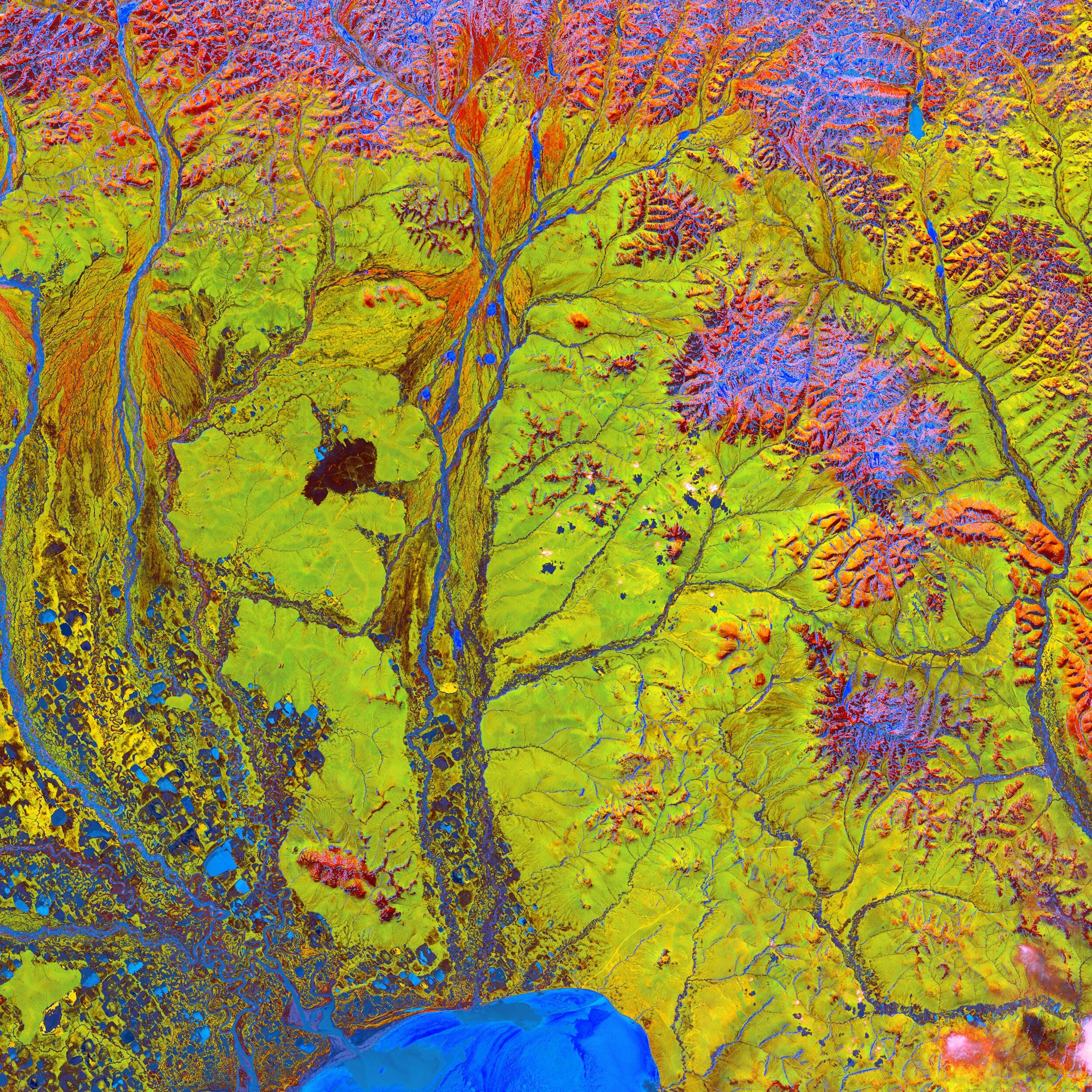
LiDAR, besides playing a pivotal role in monitoring carbon sinks like mangroves and wetlands, is also widely used for inventorying and managing urban and forest trees. By emitting laser beams toward the forest canopy, LiDAR can accurately measure tree height, vegetation cover density, and even the three-dimensional forest structure. These data are crucial for estimating forest biomass and consequently, the amount of carbon stored in trees. Furthermore, LiDAR is a powerful tool for deforestation monitoring, assessing forest regeneration, and tracking vegetation cover changes.
In an urban context, LiDAR finds valuable application in urban tree management. It quantifies urban canopy, detects sick or hazardous trees, assesses pruning needs, and efficiently plans green expansion in urban areas. This use of LiDAR contributes to creating greener, more resilient cities conducive to climate change mitigation. Integrating LiDAR with our ecoTeka tool opens promising prospects for urban tree heritage management, offering solutions to tackle forthcoming challenges.
LiDAR Technology Serving Nature-Based Solutions
LiDAR (Light Detection and Ranging) technology has made significant strides in the realm of biodiversity preservation and ecosystem monitoring. Companies like Natural Solutions employ LiDAR to precisely map ecosystems, monitor changes over time, and assess stored carbon quantities. This technology enables more efficient natural resource management and guides conservation efforts.
Counting and Tracking Carbon Sinks through LiDAR
LiDAR plays a crucial role in tallying and tracking natural carbon sinks. Utilizing LiDAR sensors, it's possible to accurately map the height, density, and structure of mangroves, wetlands, and forests. Such data is pivotal for estimating vegetation biomass and the amount of stored carbon within these ecosystems. Moreover, LiDAR can be used to monitor changes over time, like tree growth or shifts in wetland topography.
While LiDAR is less commonly used for plankton monitoring, emerging applications exist for measuring environmental factors influencing its growth, such as ocean chlorophyll concentration.
The Importance of Nature-Based Solutions
Nature-based solutions, like those integrated into ADNOC's project, acknowledge the intrinsic value of biodiversity in combating climate change. Rather than relying solely on technological solutions, these approaches utilize natural ecosystems to provide crucial ecological services, such as carbon storage. This creates synergies between biodiversity conservation, climate regulation, and human well-being.
In conclusion, LiDAR technology offers a precise and advanced approach to quantify and monitor natural carbon sinks. By combining this information with preservation initiatives such as ADNOC's project and other conservation efforts, we can maximize the effectiveness of these ecosystems as climate regulators. The convergence of biodiversity conservation and innovative technologies like LiDAR is a promising step towards a sustainable future for our planet.
How to talk about nature-based solutions without mentioning the NBS Eduworld project? NBS EduWORLD is a Horizon Europe project at the crossroads between nature-based solutions and education, a forerunner project blending the two topics. The result is a unique consortium bringing together researchers, educators, NBS practitioners, and even sports community members with the common goal of creating engaging and locally relevant educational materials centering the environmental, social, and professional merits of NBS.